We work with communities in addressing complex social-ecological challenges through research, capacity building and creating spaces for dialogue and knowledge exchange.
Contact usLatest news
Rights of Wetlands Review
The Rights of Wetlands Review is a working document that introduces Rights of We ...
-
by Matt Simpson

Colombo wetland management framework
A key output of the ‘Increasing the resilience of biodiversity and livelih ...
-
by Matt Simpson
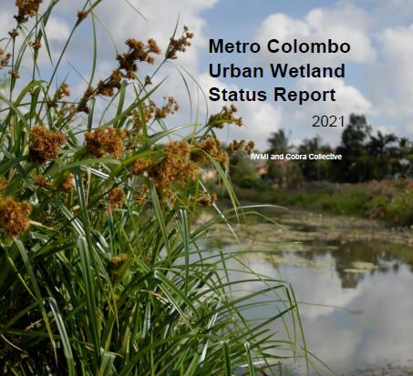
Metro Colombo urban wetland status report
The Metro Colombo urban wetland status report reviews the progress made since th ...
-
by Matt Simpson
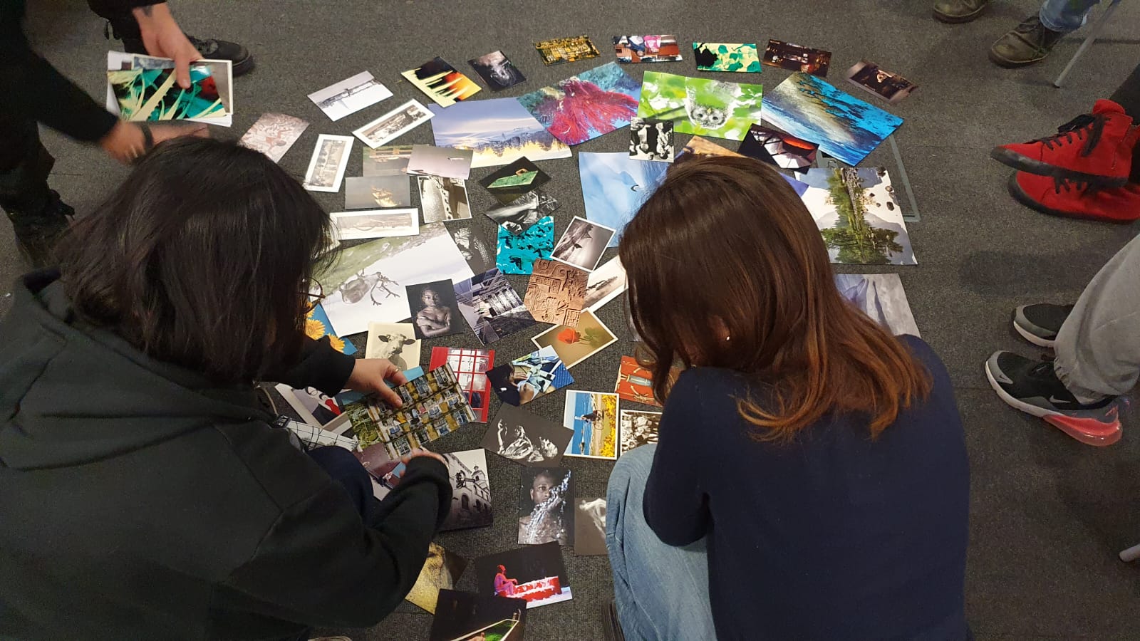
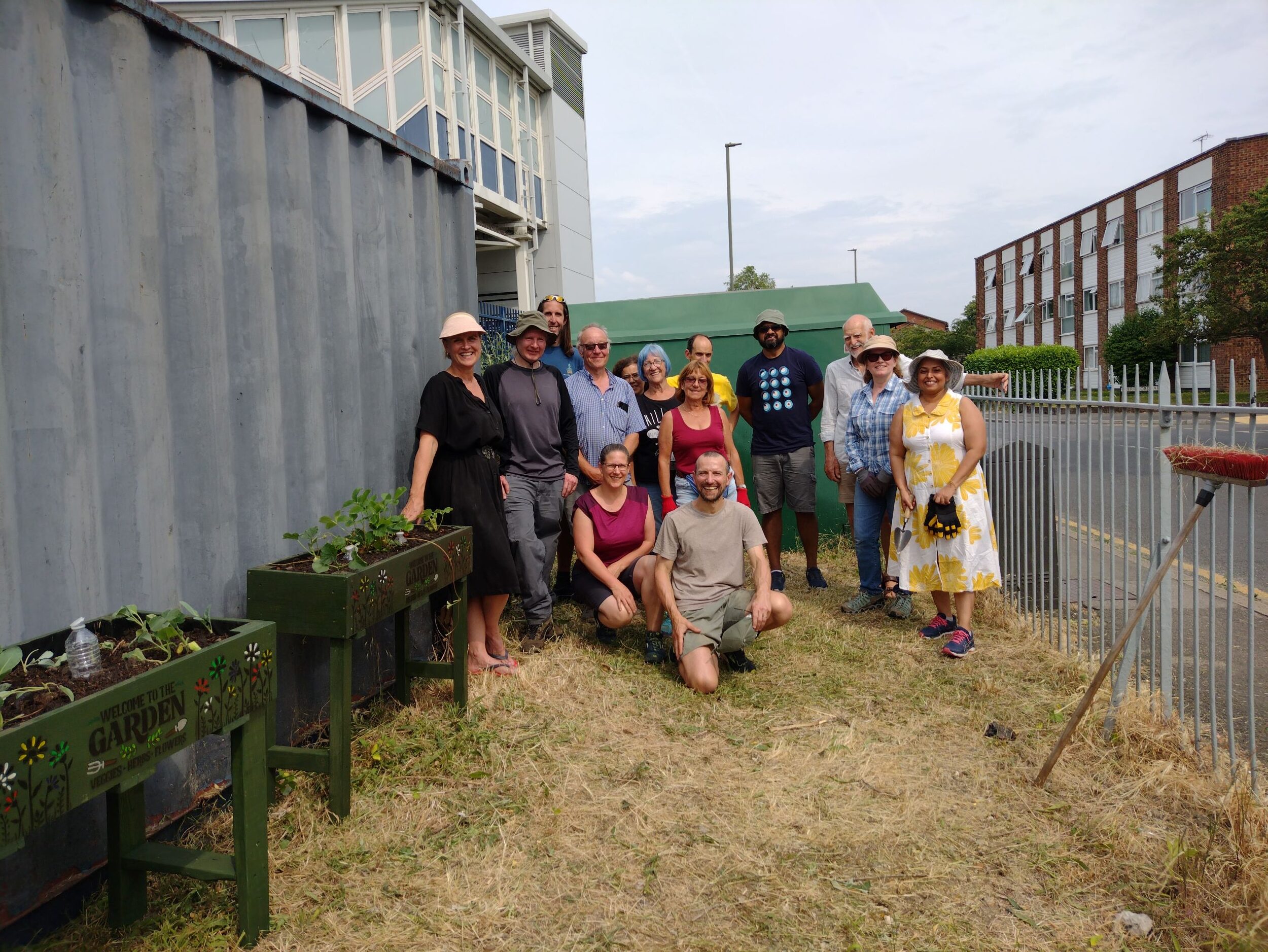
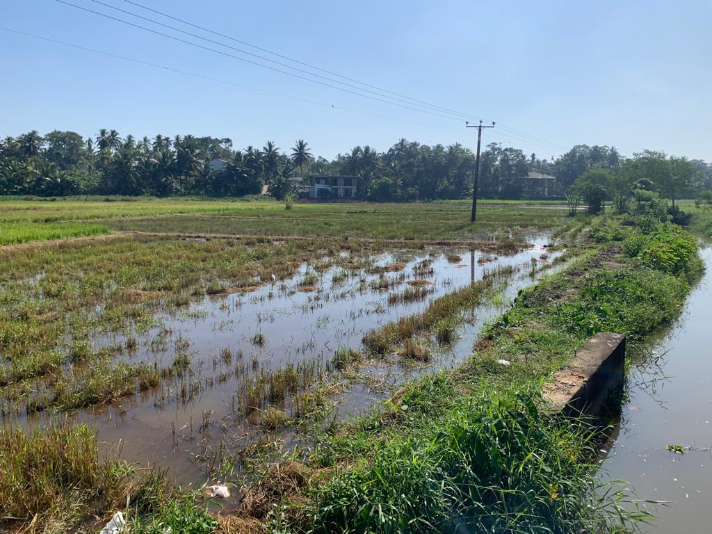
Community’s right to grow
Supporting community food growing has become an important mechanism for deliveri ...
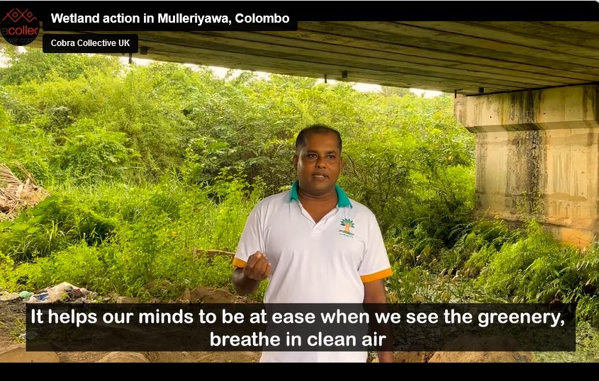
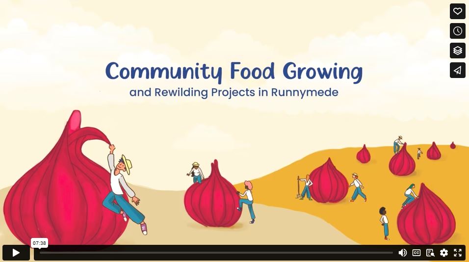
Urban wetlands improving the wellbeing of city dwellers
In a participatory video made by the community of the Mulleriyawa wetland in Col ...
-
by Matt Simpson
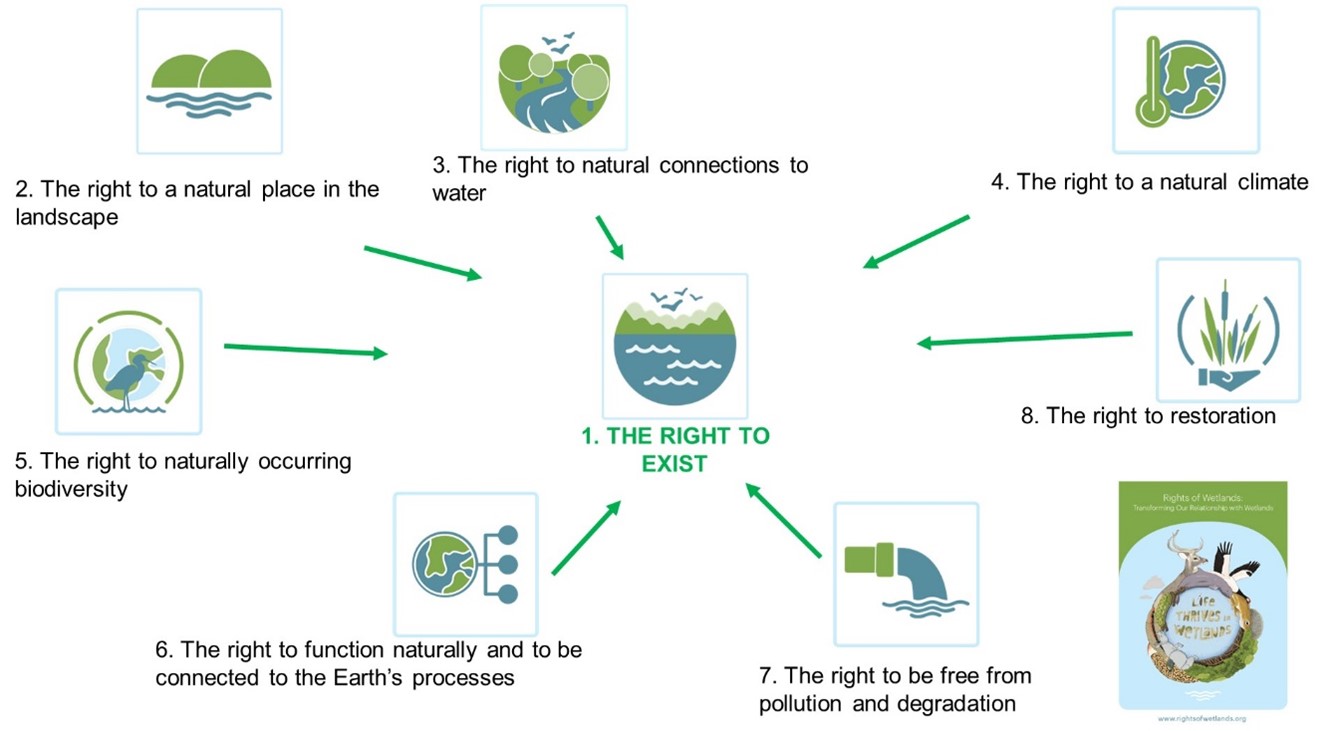
What is a Rights of Wetlands approach?
Rights of Nature is gaining increased support as a solution, an approach that is ...
-
by Matt Simpson