We work with communities in addressing complex social-ecological challenges through research, capacity building and creating spaces for dialogue and knowledge exchange.
Contact usLatest news
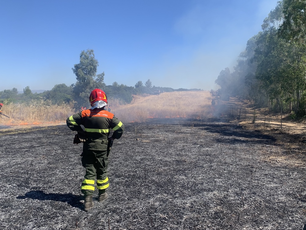
Fire in Italian landscapes
As part of the FIRE-ADAPT project, we took secondments in Italy, joining the Sar ...
-
by Jay Mistry

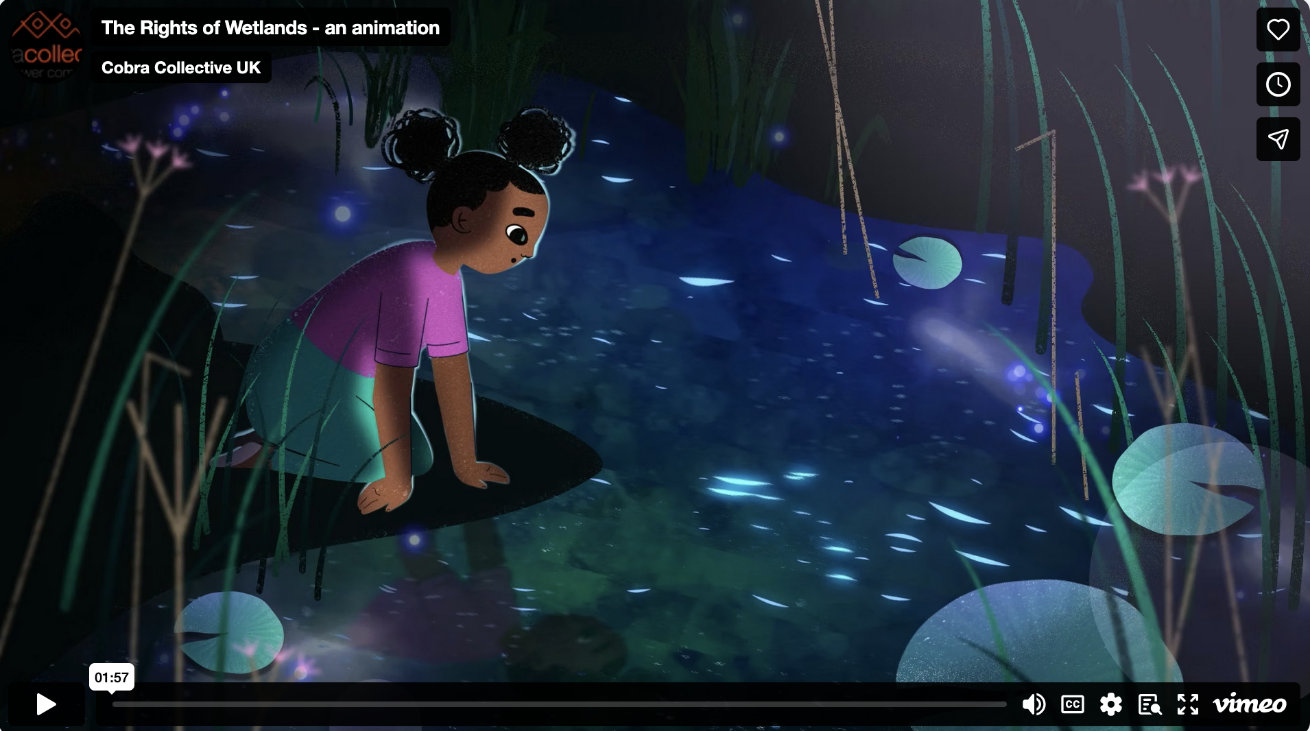
Animation on Rights of Wetlands
This animation encourages us to take action for the Rights of Wetlands. ...
-
by Matt Simpson

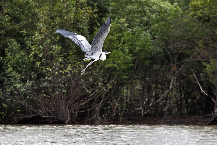
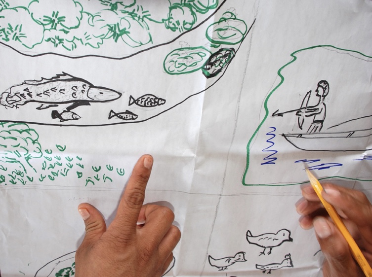
Protecting the Rupununi Wetlands through Indigenous knowledge and spatial thinking
We have a new project in Guyana with Indigenous communities on spatial thinking ...
-
by Andrea

Adavancing Rights of Wetlands
On the 4th March 2026, we hosted the ‘Advancing Rights of Wetlands’ ...
-
by Matt Simpson
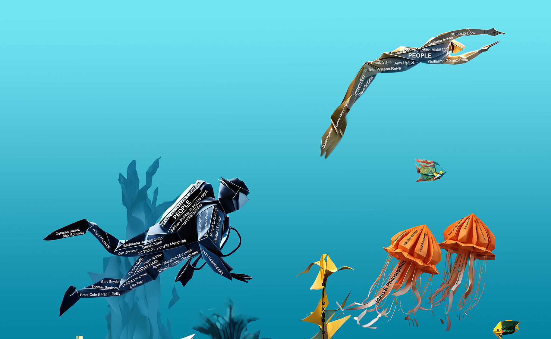
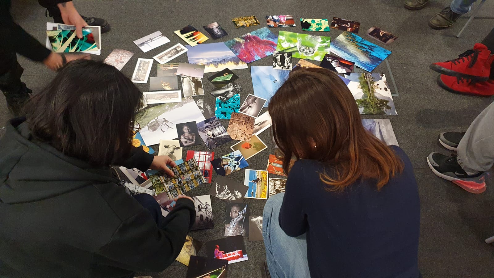
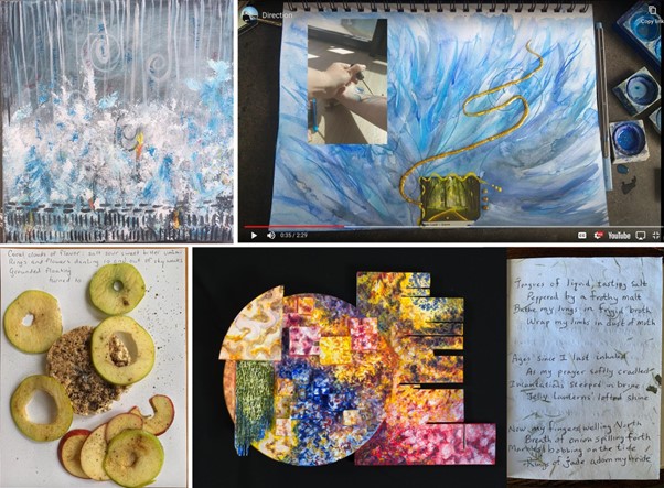
5 years of learning and creating using the Exquisite Corpse method
Our new article “Sensing the Ocean through the Exquisite Corpse ArtScience ...
-
by Julia Jung

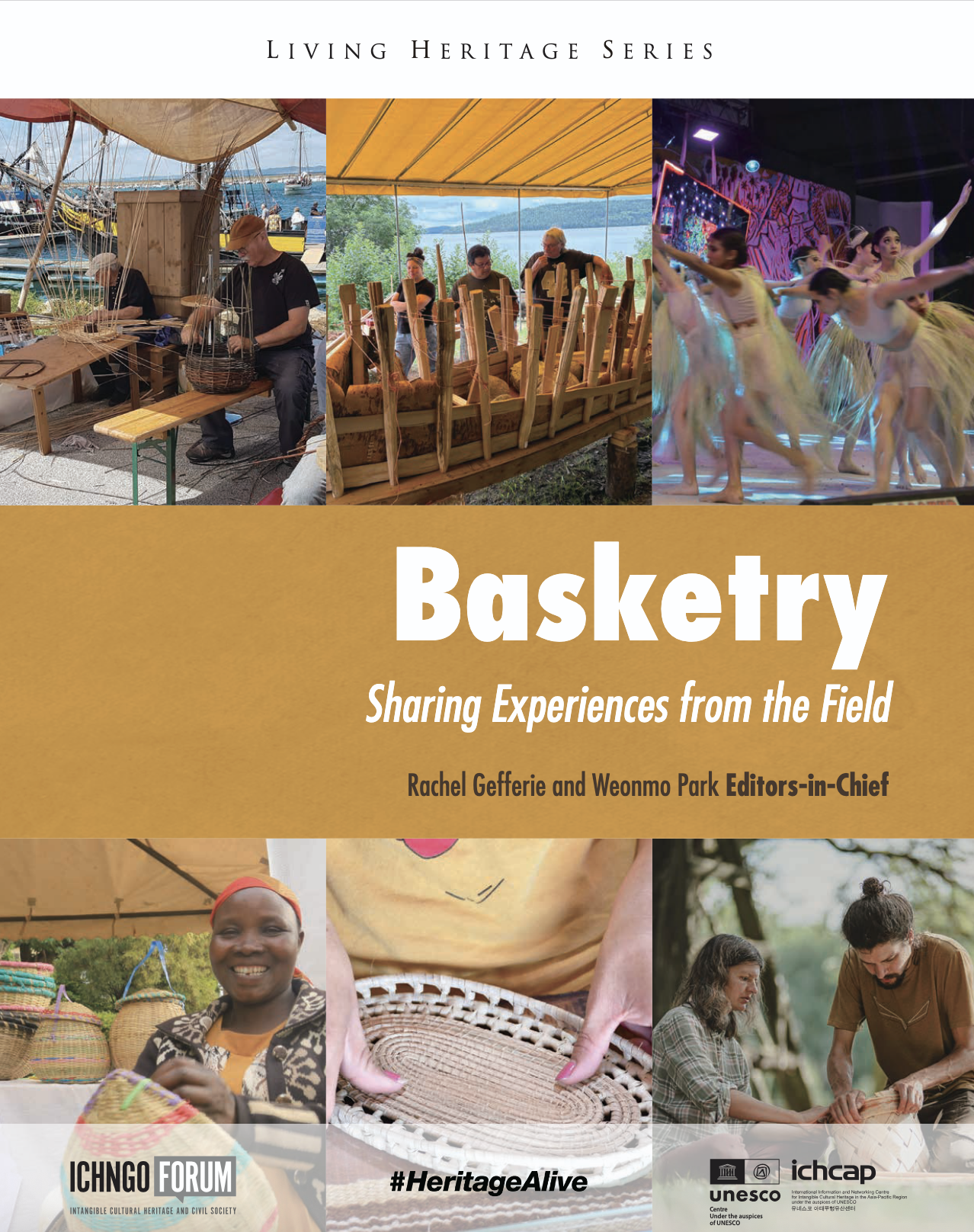
Basketry in Indigenous everyday lives
Our contribution to the UNESCO ICHCAP book on 'Basketry – Sharing exp ...
-
by Jay Mistry