Kapoto at the start of the dry season

posted in: News 0


Kremkrem team meet to map and record traditional and prescribed fires

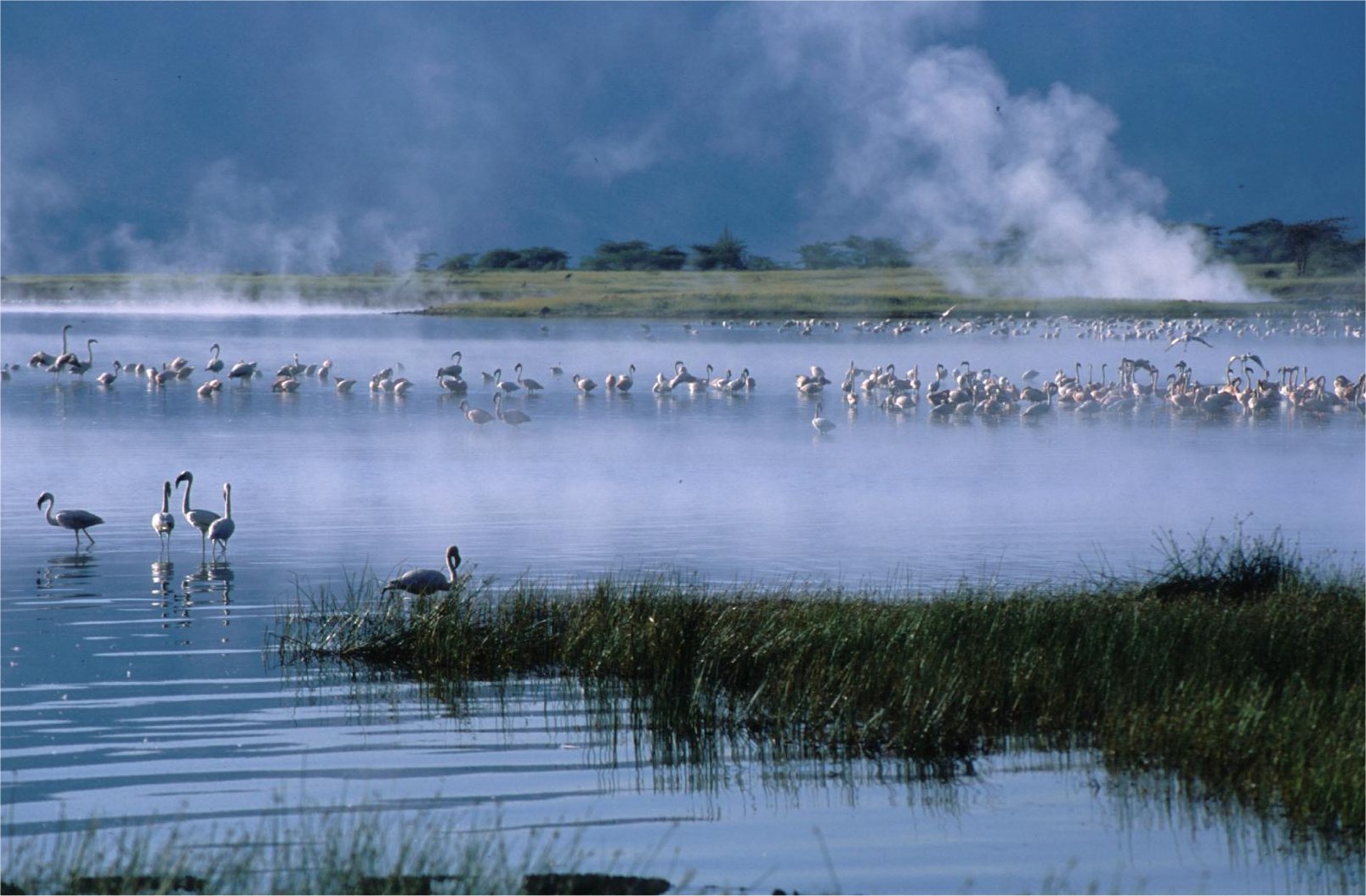
In June 2015, partners of Project Kremkrem met in Aldeia Kapoto, a beautiful area of cerrado (savanna) that burns every year…..

Following an evaluation visit by project partner Andrea Berardi in November 2014, it became clear that the Indigenous researchers working on the project required further capacity building to carry out project tasks, and that more work needed to focus in the Kapoto area of the Indigenous territory where most of the yearly fires were occurring and where traditional fire knowledge was still prevalent.

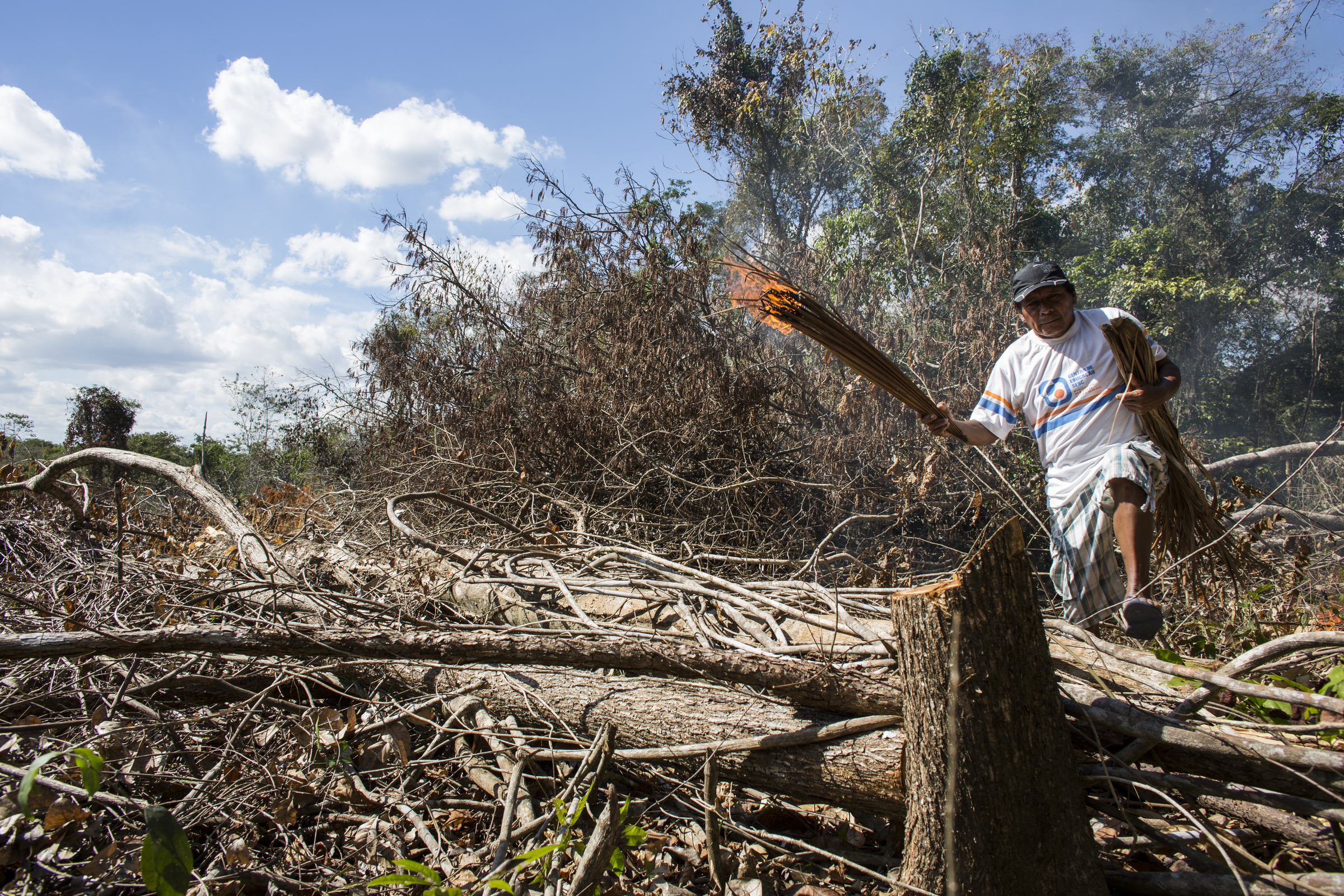
Therefore, in June 2015, the UK and Brazilian academic partners, working closely with the Instituto Raoni, organised a field visit to Kapoto village. Together with the Mêbengokrê researchers, Kiabiete, Yariká, Kokokroriti, Engri, Bemok, Barikai and Kongrati, the main activities carried out were interviews on the traditional use of fire, setting prescribed fires in the areas invaded by the non-native grass Brachiaria, and mapping traditional and prescribed fires. In addition, there were screenings of participatory videos completed to date (with an amazing audience of over 300 villagers, attracted by the popcorn as well as the excellent films!), and further capacity building on the use of the GPS and tablets for video-making. The visit ended with planning with the team and the Instituto Raoni of tasks to accomplish over the following six months, including further fire mapping and film-making.

Over the twelve days of the field visit, we went on various treks to locations such as farms, old villages and fishing sites, mapping fires on the way. It was notable that even by the early dry season, many places had already been burnt, in small and patchy areas. What was also striking was the extent of invasion by non-native grasses, especially Brachiaria spp.. This, like many other invasive grasses, produces more biomass and thereby combustible fuels, resulting in much higher intensity fires than would occur in native vegetation. Generally on the forest edges, it also has the capacity to take fires in to forests leading to forest degradation over time.

The next phase of the project will focus on integrating the spatial data collected in the field with remote sensing data in order to analyse the dynamics and extent of Indigenous burning practices. Together with an analysis of the video materials, this will enable us to identify the impact of the practices and promote the use of traditional fire management in protecting the cultural and ecological resources of the region.

kremkrem1kremkrem3kremkrem2


Follow Jay Mistry:

Professor of Geography - Royal Holloway University of London

Jay has more than 22 years’ experience in teaching, researching and building capacity for natural resource management with local communities. Her particular interests include supporting local livelihoods and biodiversity conservation, local environmental governance, action research using participatory video and capacity building for natural resource management.